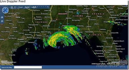
TNRIS (Texas Natural Resources Information System) has launched their new Emergency Resources web site which overlays Doppler weather with a Virtual Earth map for storm tracking. You can also get down to a specific city, by geocoding places in the search box. Track the Hurricane Gustav which has just hit the US coasts.
(source:Virtual Earth Blog)
Hope such satellite imagery from Virtual Earth is provided for all , such as for the recent Floods in Bihar, India.

No comments:
Post a Comment